
NEW EXCLUSIVE GUIDE: "Your mall mapped for maximum revenue" ➡️


The reference files are used to create the map. The .dwg format is preferred for digital map drawing, as it preserves the scale of the plans, ensuring that your drawing will be at the correct scale. However, if they are the only available sources you have, you can also use .pdf, .jpeg, or .png files.
The Overlays panel is the inspector that allows you to control the visibility of a reference image on a given floor. You can toggle it on and off by clicking on the icon in the bottom part of the left toolbar.
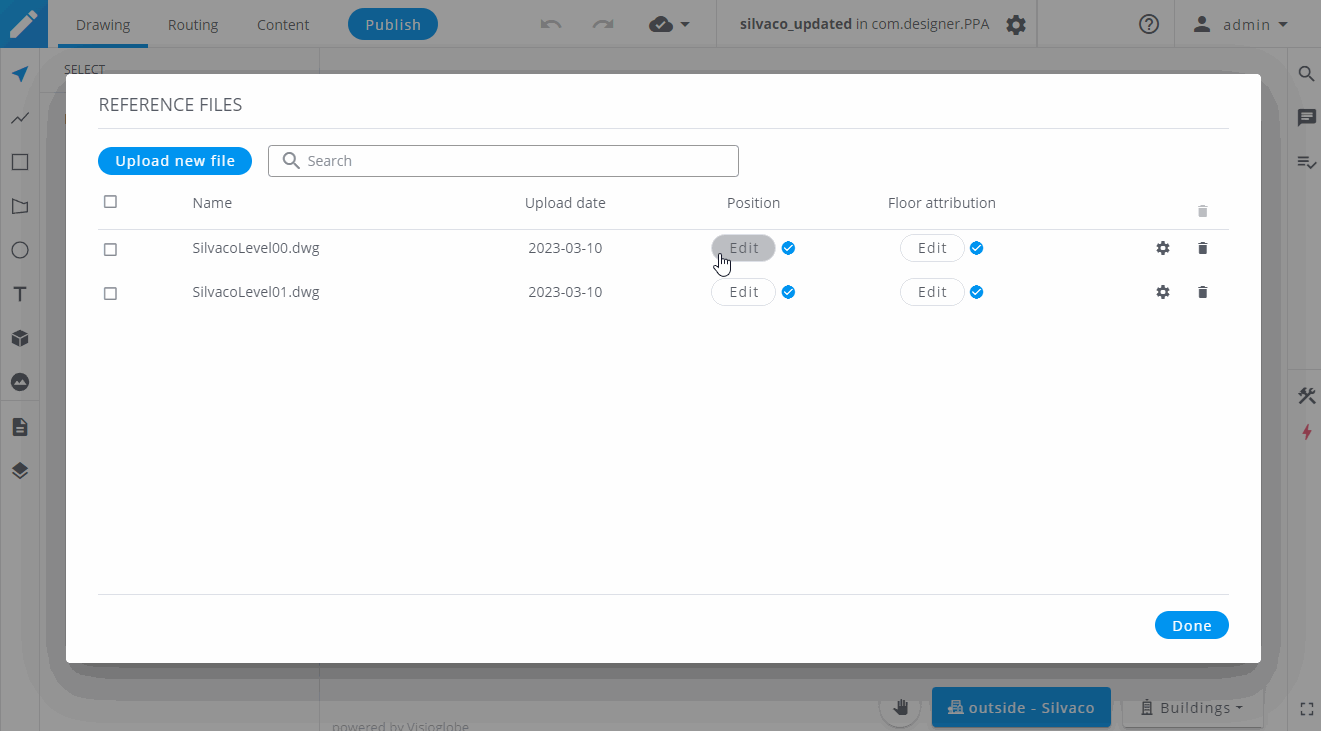
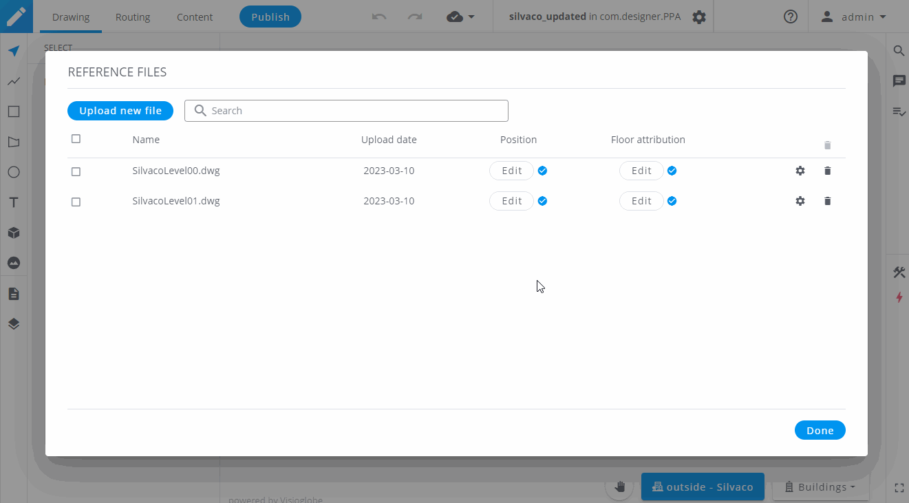
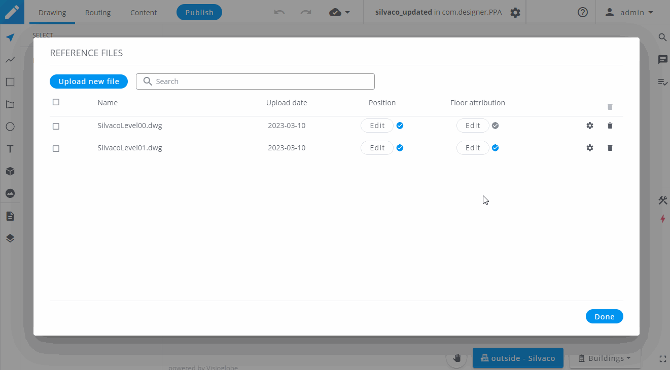
To upload a new plan, access the Reference files dialogue window by clicking on the icon next to your map's name and then by clicking on Reference files
Then, simply click on Upload new file and locate the file you want to upload with your file's explorer.
Once your floor plans are uploaded, you can position them on your drawing canvas.
To do so, click the Edit button under Position
When editing its position for the first time, your plan will be located on the top left part of the venue area.
Click on it to select it and move it over your building to place it correctly.
If you are using an image format file, you can resize it using the handles on each corner of the selection box. You can also rotate your plan with the green round handle or by clicking on the horizontal and vertical axis.
Align your plan to the base of the building, not the roof. Using the roof as reference will provide incorrect coordinates for your drawing due to the perspective of the satellite view. Use the base of the building to ensure accurate placement of your plans.
Once you are sure that your scale and positioning are correct, you can click on "OK" to validate the position.
During the lifetime of your map, you might want to update a reference file with a new version of the architectural drawing. You can do so without having to position it.
After uploading your new plan, you can go to the file it will replace, and copy its coordinates by clicking the icon. Then, exit the position editing of the older file and go to the position editing of your new file. You can now click on the icon to paste the size and coordinates of the previous plan.
If your floors have similar footprints, you can also copy and paste the coordinates from one another to save time.
Now that you correctly placed your reference file, you can select the floor(s) you want to display it on.
To do so, click on the Edit button under "Floor attribution".
You can then choose to display the reference file on every floor by activating the toggle Display on all floors , or you can choose a specific floor or even the outside layer.
To activate the Overlays panel, click on the icon in the bottom part of the left toolbar. Like the other panels, you can double-click on it to expand its size.
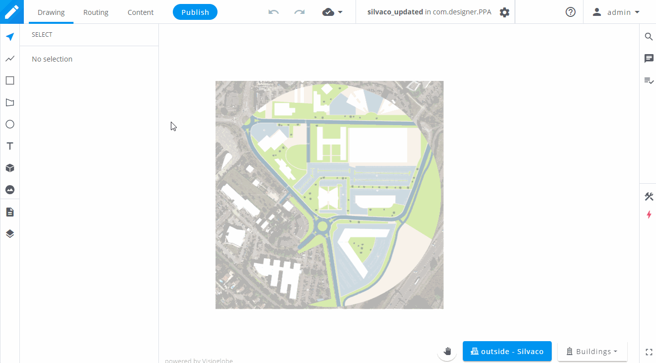
In this panel, you will see every reference files that are available for the current floor, as well as the satellite projection. From this panel, you can manage :
This panel is also visible in the edit position feature of the Reference files dialogue window to help you place your plans relatively to the other plans you already positioned.