
NEW EXCLUSIVE GUIDE: "Your mall mapped for maximum revenue" ➡️


The navigation bar is the bar that is at the top of your screen. Following is its anatomy, from left to right.
VME logo You can click on the logo to make My.Visioglobe appear, which will get you back to My.Visioglobe when clicked.
Tabs You can navigate through each tab during the map creation process to have a dedicated toolset for each task.
Publish Create draft to test your map. Publish your drafts to push your map to your live application.
, and Undo, redo and save your map.
Access your map settings.
Access keyboard shortcuts and documentation.
Access your account settings.
You have two toolbars at your disposal on each side of the screen.
The top part of the toolbar provides you tools to create and edit elements on your map. Its content adapts according to the tab you have selected.
The bottom part of the toolbar contains tools to control the visibility of different elements of your map.
Allows you to control the visibility of your reference files.
Allows you to control the visibility of the elements drawn in the map such as surfaces, texts and labels, icons and 3D models.
The top part of the toolbar provides you with the tools to search, comment and control the quality of your map.
The bottom part of the toolbar allows you to access your workspace tools such as map rotation, snapping and so on. At the very bottom of the bar, you will find a button to toggle fullscreen mode.
Inspectors and drawers are the part of the interface that contains the details of a tool.
You can maximize the vertical space of an inspector or a drawer by double-clicking on its label.
The display panel allows you to control the visibility and locking of each element on the map.
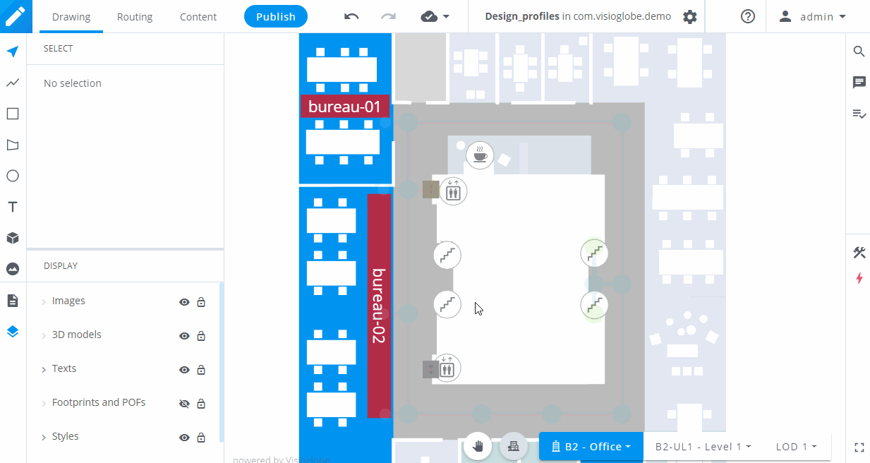
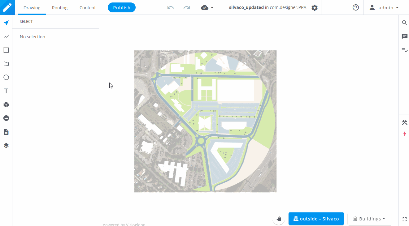
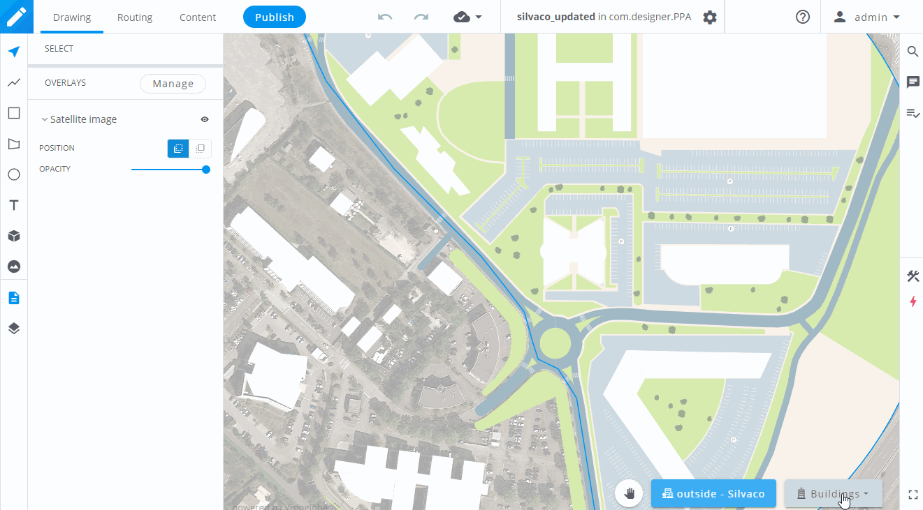
To navigate within the structure of your map, use the floor selector at the bottom right of your screen.
When you load your map, the outside layer will always be selected by default. You can click on the building dropdown to select a building, and repeat the same action to select a floor and a LOD.
LOD means Level of Detail. The LOD1 contains all the different shapes of the floor. The LOD0 only show a plain surface (usually a wall) that will appear when the camera is far away. It will also be used when the floors are stacked.
To go back to the outside layer, simply click on the icon.
To navigate around your map, you can :